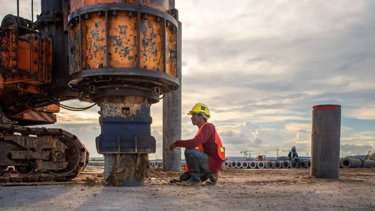
Too many geotechnical reports for sites in St. Paul still default to a generic Site Class D assumption when the actual subsurface conditions could place the project in Class C or even B. That shortcut pushes unnecessary structural costs into mat foundations and moment frames. We see it repeatedly on infill projects around the West Seventh neighborhood and Midway, where thin glacial drift over limestone creates stiff profiles that a proper VS30 measurement would capture. Running a Multichannel Analysis of Surface Waves (MASW) survey is the most reliable way to get the shear wave velocity profile the IBC requires for site classification. Our field crew deploys a 24-channel spread with 4.5 Hz geophones, processes the dispersion curve with rigorous fundamental-mode picking, and delivers the 1D VS profile—ready for the structural engineer's seismic design parameters. In a city built on the buried bedrock valley of the ancestral Mississippi, combining MASW with seismic refraction on sites with suspected lateral variation gives a more complete picture of the bedrock surface and overburden stiffness, especially where paleochannels cut through the till.
A site-specific VS30 of 1,800 ft/s versus the default 850 ft/s assumption can shift the seismic design category enough to eliminate special moment frames entirely.
Service characteristics in St. Paul
Risks and considerations in St. Paul
ASCE 7-22 Section 20.4 makes it clear: site classification from shear wave velocity must be based on measured data, not default assumptions, unless the authority having jurisdiction explicitly permits otherwise. St. Paul's Department of Safety and Inspections enforces the Minnesota State Building Code, which adopts the IBC with state-specific amendments—and the 2020 Minnesota Building Code references IBC 2018/ASCE 7-16, with the 2024 code cycle moving toward ASCE 7-22. The risk of defaulting to Site Class D on a site that actually qualifies as C is not just overdesign. In a few documented cases within the Mississippi River valley, a soft clay lens at 8 to 12 meters depth—common in the glacial Lake Agassiz-derived sediments that blanket much of Ramsey County—has produced VS30 values below 600 ft/s, pushing the site into Class E territory. Missing that means the structural design uses a lower seismic coefficient than the ground motion actually demands. For essential facilities—hospitals like Regions, fire stations, emergency operations centers—that gap is unacceptable. The City's geological vulnerability is compounded by the fact that the underlying Platteville limestone dissolves over time, creating karst voids that are invisible to surface-wave methods alone; when we suspect karst, we recommend coupling the MASW survey with an electrical resistivity tomography profile to flag low-velocity anomalies that might represent air-filled cavities.
Our services
Our St. Paul MASW surveys are designed to integrate directly with the rest of your geotechnical investigation. We coordinate with drilling crews and can deploy the same day as SPT rigs to minimize mobilization costs.
VS30 Site Classification Surveys
Complete MASW acquisition and processing for IBC/ASCE 7 site class determination. Includes 30-meter VS profile, NEHRP site class letter, and a signed report prepared by our geophysical team. Typical turnaround is 4 business days from field acquisition to final PDF. We handle the coordination with your structural engineer to ensure the VS30 value feeds directly into the ELF or modal response spectrum analysis.
Deep Basin Profiling (MASW + ReMi)
For structures with fundamental periods exceeding 1.0 second—mid-rise and high-rise buildings, long-span bridges—the VS30 value alone does not capture basin resonance effects. We extend the array to 138 meters and combine active MASW with passive ReMi recordings (30- to 60-minute ambient noise windows) to extract the velocity profile down to 100 meters or deeper. The resulting VS profile supports site-specific ground motion analysis per ASCE 7-22 Chapter 21.
Common questions
What does a MASW survey cost for a typical commercial lot in St. Paul?
For a standard VS30 survey on a lot under one acre with good access, the cost ranges from US$1,840 to US$3,320 depending on the array length required, the number of shot points, and whether passive-source ReMi is needed to supplement the active data. Sites with heavy vegetation, steep slopes, or restricted access—common along the river bluffs—fall toward the upper end of that range due to the extra crew time for line clearing and setup.
How long does the field acquisition take for a single MASW line?
A standard 24-channel spread with 2-meter geophone spacing (46-meter line) takes approximately 45 to 90 minutes to deploy, shoot, and break down, assuming unobstructed ground. We typically acquire 3 to 5 shot points along the spread—one at each end, one at the center, and offset shots for longer arrays—to ensure consistent dispersion imaging across the full frequency band.
Can MASW be performed on paved surfaces like parking lots or existing roadways?
Yes. We use geophones with spike bases that can be coupled to asphalt or concrete using quick-set plaster or adhesive putty, and the sledgehammer source is struck on an aluminum plate with a rubber mat underneath to protect the pavement. The Rayleigh wave energy propagates through the pavement layer without issue, though we account for the high-velocity cap in the inversion by constraining the surface layer velocity to a reasonable range for asphalt or concrete.
How does the Mississippi River valley geology affect the MASW results?
The deep bedrock valley beneath St. Paul—cut during the Pleistocene by the ancestral Mississippi and now filled with up to 150 feet of glacial till, outwash, and alluvium—creates a strong velocity contrast between the unconsolidated sediments (VS typically 500 to 1,200 ft/s) and the underlying Paleozoic carbonates (VS often above 4,000 ft/s). This contrast produces a clear, high-amplitude fundamental-mode dispersion curve that is relatively easy to pick, but it can also generate strong higher-mode contamination. Our processing workflow includes mode-separation checks to ensure we are tracking the fundamental mode across the full frequency range before inversion.